 August Softwares
Boondock Map
An offline map of 29,000 dispersed and free campsites on US public land.
What it does
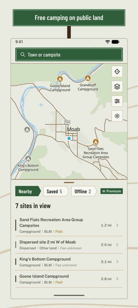
Boondocking tonight? Boondock Map puts 29,000 dispersed campsites and free camping spots on US public land on a topo map that lives on your phone, so search and the map work with one bar of signal or none.
Sites come from federal data and from campers who have stayed there.
Find a site
Dispersed camping on BLM land and in National Forests, federal campgrounds and spots other campers added, with free sites in green.
Everything before you drive
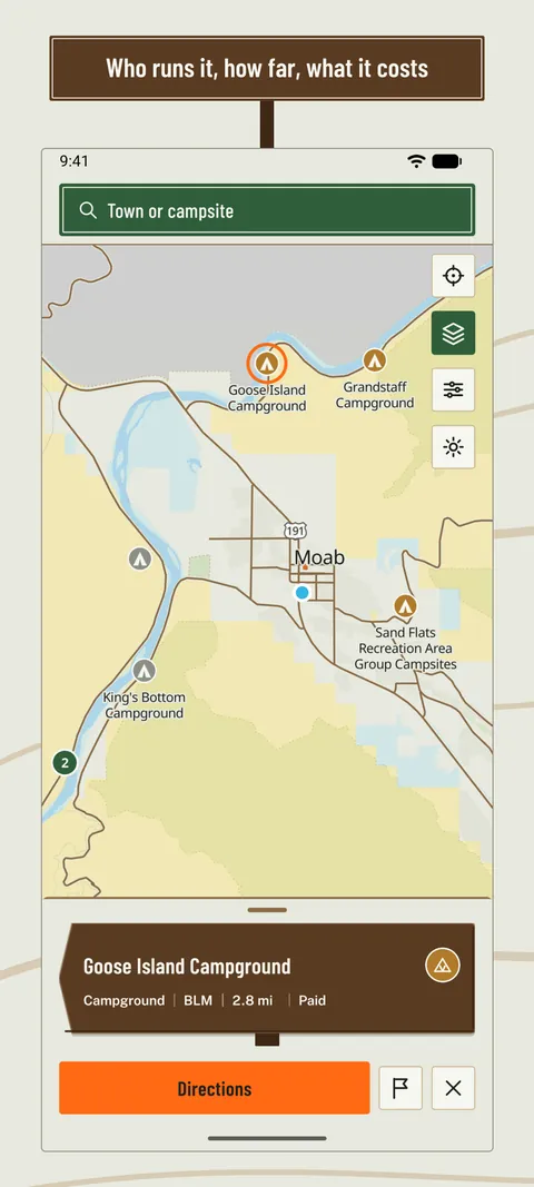
Fees, season, water, toilets, vehicle length, elevation and stay limits, then one tap to directions.
The register
Check in after a night: rating, cell signal by carrier, the road in, how busy it was.
Forest roads and offline areas
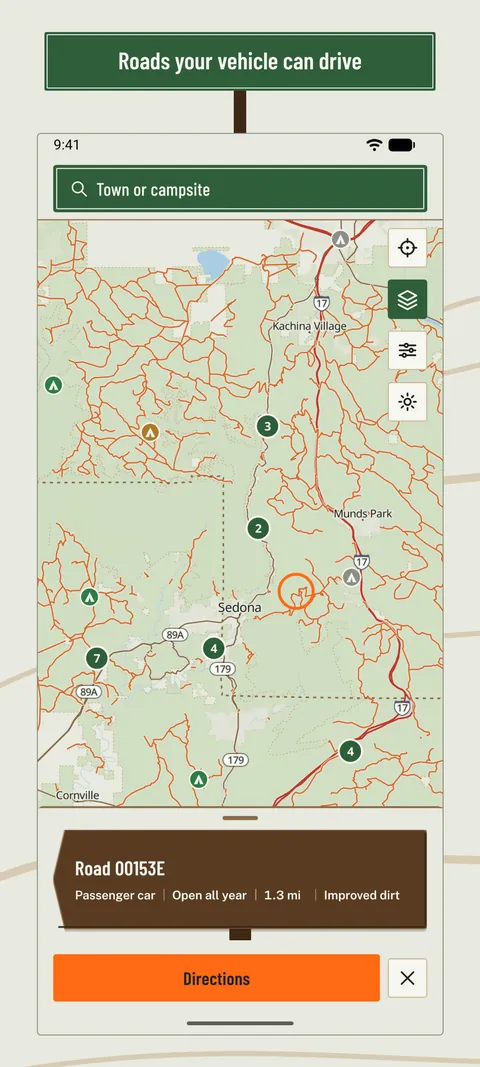
With Premium, the forest roads open to vehicles in every National Forest, and whole regions saved for when signal drops.
Boondock Map is not a government app. Rules change; check with the local office before you camp.
Price
Free to search and browse. Premium adds forest roads, offline areas, forecasts and unlimited lists: $49.99 once or $24.99 a year.
Privacy
No account and no ads. Check-ins you add are shared with other campers.
Help
Questions, ideas or a bug to report? Email [email protected] and name the app.
More in listen, learn and explore
All apps Art IdentifierPoint your camera at a painting and see its title, artist and story, even offline.
 Word of the DayLearn one sharp new word every day with a home-screen widget, pronunciation and spaced review.
 Ear TrainingOffline music ear training for intervals, chords, scales and note recognition with real audio.